Show visitors the real beauty of your area
Your parks, heritage sites, and town centres are stunning — but on Google, they’re represented by blurry tourist snapshots. PixGap fixes that without needing any technical expertise.
The Problem
The problem you face
Your professional photos sit unused
You commissioned beautiful photography of your parks and civic spaces, but it never makes it onto Google where millions of people actually look.
Public places have no Google Business Profile
Parks, reserves, and town squares have no upload API. There is no official way to manage how these places appear on Google Maps.
Bad photos undermine tourism and investment
When Google shows blurry, unflattering images of your area, it sends the wrong message to visitors, investors, and prospective residents.
The Solution
How PixGap helps
Visual Gap Score for your area
A quantifiable health rating for every place in your jurisdiction. See at a glance which parks, streets, and venues need attention.
Citizen Photographer Kit
Generate guided upload links for staff and community volunteers. Each contributor gets clear instructions; you track every upload.
UGC Shield monitoring
Get alerts when low-quality user photos displace your professional imagery. One-click actions to re-publish and defend your visual presence.
Benchmark against neighbours
Compare your Visual Gap Score to neighbouring councils. Civic pride meets data-driven decision making.
The Results
Before & After
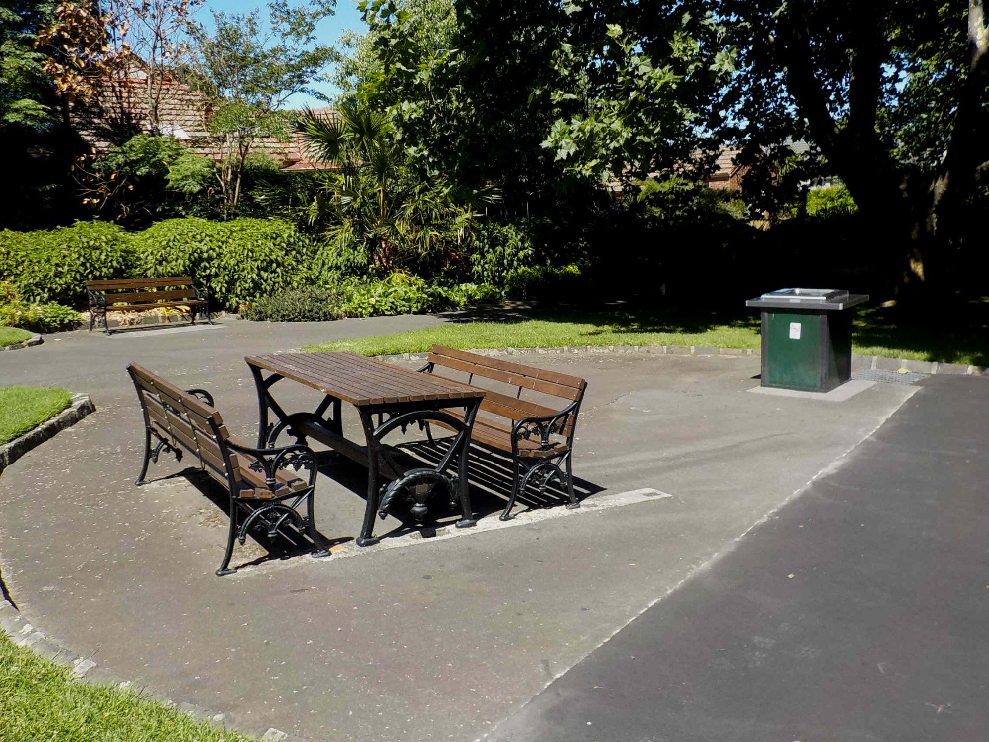 Before
 After
AfterAlexandra Gardens
↑ Quality score: 21 → 79
 Before
 After
AfterTown Centre Precinct
↑ Quality score: 28 → 74
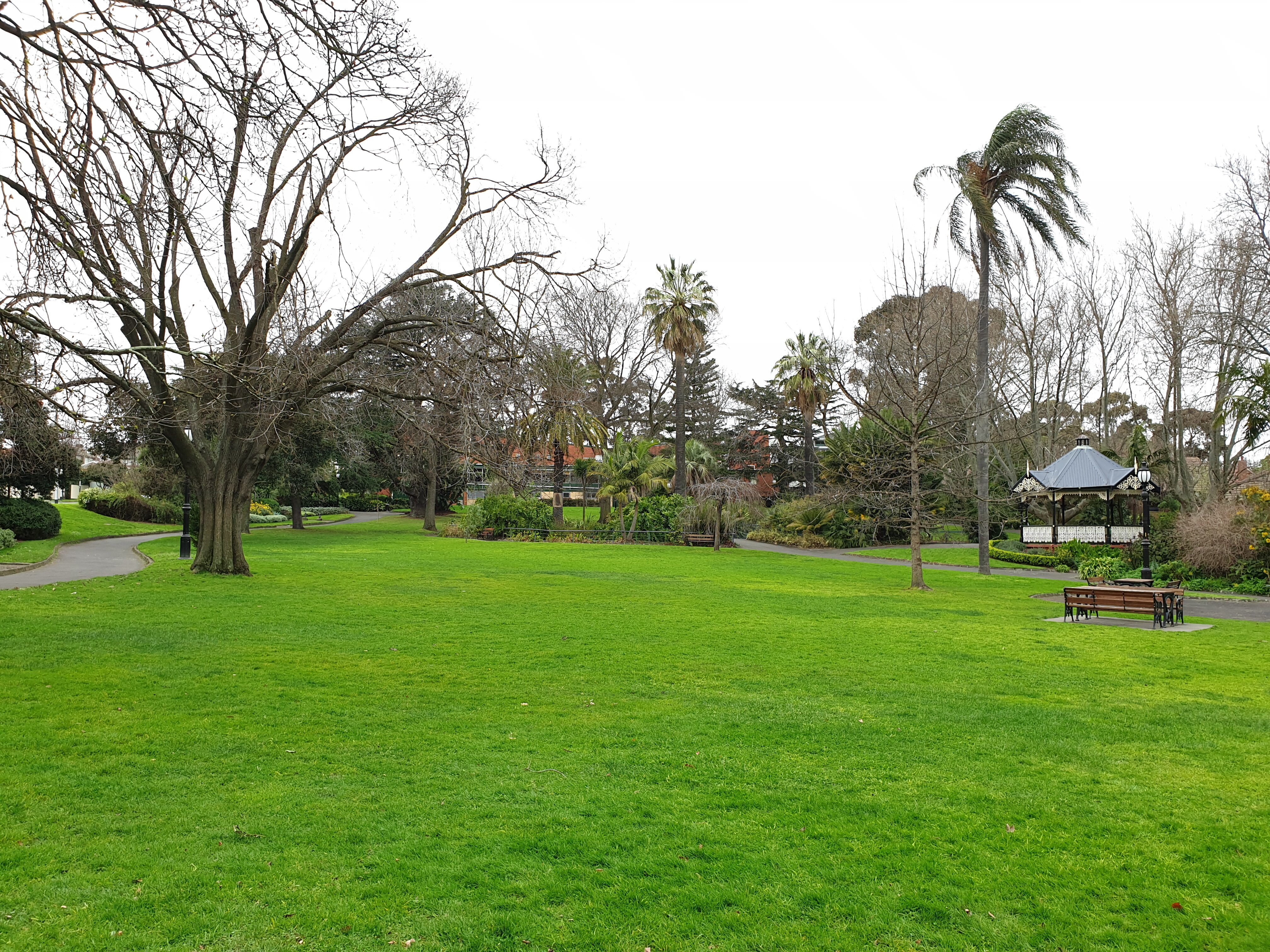 Before
 After
AfterHeritage Walk
↑ Quality score: 19 → 81
 Before
 After
AfterRiverside Reserve
↑ Quality score: 25 → 72
200+
Places per council area
34
Typical starting VGS
0
Technical expertise needed
“Beautiful campaign photos sitting on a hard drive while Google shows blurry tourist snapshots. That is the gap PixGap closes.”
— The problem PixGap solves
How It Works
Three simple steps
Map your area
Draw your boundary on the map and scan all public places. Instantly see which locations need the most help.
Upload & distribute
Bulk upload your professional imagery and create Citizen Photographer Kit tasks for staff and volunteers.
Monitor & defend
UGC Shield checks your places regularly. Get alerts when bad photos appear and take action to keep your imagery competitive.
What you'll measure
Numbers you can present at council
From committee reports to quarterly reviews — PixGap gives you the metrics to prove your digital presence investment is working.
Visual Gap Score
Poor
Your LGA
See where you could be
LGA benchmark — Visual Gap Score
★ Your LGA | 34/100 |
Neighbouring LGA | 61/100 |
State average | 43/100 |
LGA average score
200+
Places tracked per LGA
84%
CPK tasks completed on time
+33pts
Avg LGA score improvement
See what Google shows for your area. It might surprise you.
Get your free Visual Gap Score.
Get Started Free →